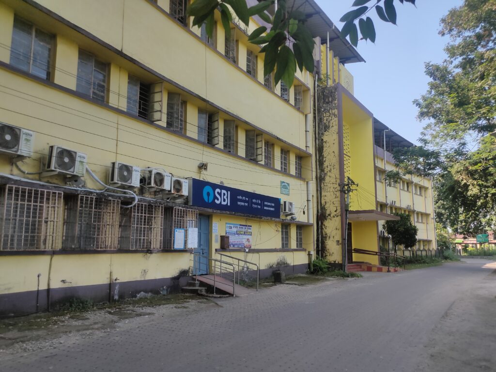
📍 Jalpaiguri District – Overview
🗺️ Basic Details
-
Location: North Bengal, West Bengal, India
-
Headquarters: Jalpaiguri town
-
Area: Approx. 3,044 sq km
-
Borders: Bhutan (North), Alipurduar (East), Cooch Behar (South), Darjeeling & Kalimpong (West)
-
Major Rivers: Teesta, Torsha, Jaldhaka, Diana, Neora
🌿 Geography & Nature
-
Lies in the Dooars region, known for forests, wildlife, rivers, and fertile plains
-
Forests & Wildlife Sanctuaries:
-
Gorumara National Park
-
Chapramari Wildlife Sanctuary
-
Jaldhaka Forests
-
-
Rich biodiversity: elephants, leopards, rhinos, bison, and birds
🌾 Economy & Agriculture
-
Primary Sectors:
-
Tea Industry – Part of Dooars tea belt (different from Darjeeling tea)
-
Timber & Forest Produce
-
Agriculture – Paddy, jute, maize, vegetables
-
Tourism – Eco-tourism and wildlife tourism
-
-
Emerging sectors: Food processing, tourism, transport hub
🧑🤝🧑 People & Culture
-
Languages Spoken: Bengali, Rajbanshi, Nepali, Hindi, Sadri, Santali
-
Major Communities: Bengalis, Rajbanshis, Adivasis (Santhals, Oraons, Mundas), Nepali-speaking groups
-
Festivals Celebrated: Durga Puja, Tusu, Baha, Holi, Diwali, Christmas
🎒 Education & Institutions
-
Jalpaiguri Government Engineering College (JGEC)
-
Jalpaiguri Law College
-
Schools under WBBSE, CBSE, and ICSE boards
🧭 Tourist Attractions
-
Jalpaiguri Rajbari – Historic palace of Cooch kings
-
Teesta River View Point
-
Jalpesh Temple – Famous Shiva temple, especially during Shravan Mela
-
Gorumara & Chapramari – Jungle safaris
-
Bhawani Pathak’s Cave – Historical site from the British period
-
Binnaguri, Lataguri, Malbazar – Tourism and tea towns
🚉 Connectivity
-
By Rail:
-
Jalpaiguri Road, Jalpaiguri Town, New Maynaguri, New Mal Junction
-
-
By Air: Nearest airport – Bagdogra Airport (IXB) (~40 km)
-
By Road: Connected via NH 27 and NH 31 to Siliguri, Assam, Bhutan


